Throughout Thursday, the sky showed little cloud cover, with intervals of low clouds on the northern and central coast in the morning, and high clouds in the afternoon. The southern half of the Community saw cloud development, exacerbated by the presence of suspended dust which created a hazy sky and an elevated thermal sensation.
The State Meteorological Agency (Aemet) forecasts storms for this afternoon in Alicante, which could be accompanied by very intense wind gusts and the possibility of hail formation. These conditions could also affect areas in the south of the province of Valencia.
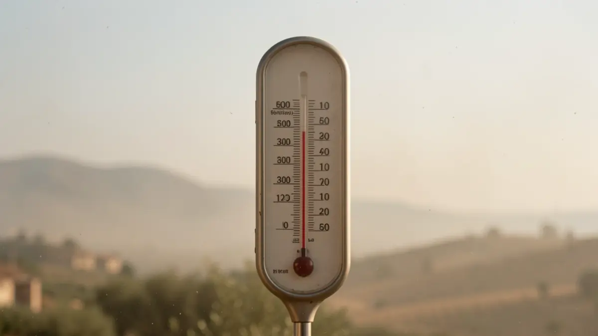
Minimum temperatures remained unchanged or rose slightly, while maximums saw a notable increase. In inland and pre-littoral areas of Valencia and Alicante, values between 40 and 43 degrees were recorded. The wind was variable and light, tending towards moderate west in the interior in the afternoon, while on the coast, the south component predominated in Alicante and east in the rest.
For Friday, a more stable situation is expected with predominantly clear or partly cloudy skies. However, intervals of low clouds are forecast on the coast and pre-littoral of Valencia and Castellón in the morning, and diurnal cloud development in the interior of Valencia in the afternoon, with possible storms that could extend to the coast.
The presence of suspended dust will continue, although a general decrease in maximum temperatures is predicted, especially noticeable in the pre-littoral of Valencia and the southern coast of Valencia and Alicante. Nevertheless, the heat will remain intense in the interior of the provinces of Valencia and Alicante.
Extreme temperatures recorded in the last twenty-four hours in the provincial capitals reflect the increase in heat: Castellón (highs of 32.4°C, lows of 25.1°C), Valencia (highs of 32.1°C, lows of 25.4°C), and Alicante (highs of 33.7°C, lows of 26.3°C).