
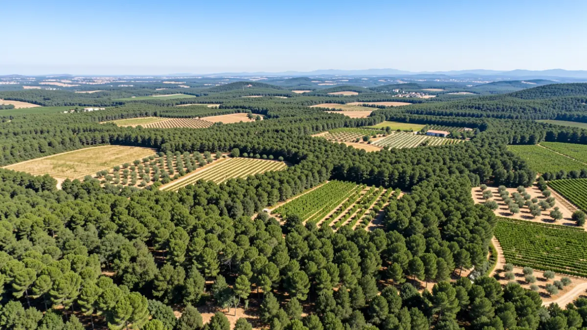
The «Project for the Management of the Public Utility Mountain 'Sierra Negrete' of Utiel», a report by public company Tragsatec dated January 2026, reveals a unique patrimonial anomaly: 1,108.59 hectares of active agricultural land, mainly vineyards and non-citrus fruit trees, are located within the public surface of the mountain. These estates, integrated into the landscape, operate under «the ancient Royal Lands» (antiguos Realengos), a historical right that allows their exploitation «without the holders contributing anything in return to the mountain's owner».
This document, currently open for public comment until August 7th and available on the Electronic Headquarters of the Utiel City Council's website, has been promoted by the Conselleria de Medio Ambiente, Agua, Infraestructuras y Territorio of the Generalitat Valenciana. The report details that the Sierra Negrete mountain has a public surface area of 6,389.57 hectares, of which over a thousand are under this special regime.
Historically, the use of public plots for labor and sowing has been a regulated practice, with the council selling up to 1,310 hectares in auctions until 2015. However, the 1,108 hectares of 'Realengos' have remained immune to any fee or economic compensation, a situation dating back to the Ancien Régime.
The concept of «Realengo» refers to lands under the direct jurisdiction of the King. Over time, customary use by residents for subsistence consolidated as a «right of custom». Modern legislation, particularly the 19th-century disentailment laws and the creation of the Catalogue of Public Utility Mountains, discovered these consolidated occupations within the new boundaries of public mountains.
The Official Demarcation of the 'Sierra Negrete' mountain, approved by an Order of the Ministry of Agriculture on August 31, 1929, formally defined the «enclaves» (enclavados): 70 private plots totaling 1,187.70 hectares within the public mountain. This demarcation became the subject of a legal battle that reached the Supreme Court.
A ruling by the Supreme Court on July 8, 1980, annulled the boundary marking (amojonamiento) based on the 1929 demarcation, arguing the excessive time elapsed without the borders being consolidated. Justice sided with the farmers, legitimizing traditional use due to administrative neglect.
The new forest management plan imposes a «freeze» on agricultural activity, stipulating that it can only occur on previously cleared land and warning that the area of the plots «cannot be expanded either». Despite this, aerial photographs show that forest vegetation has progressively gained ground from agricultural crops since 1956, indicating that nature is reclaiming space.