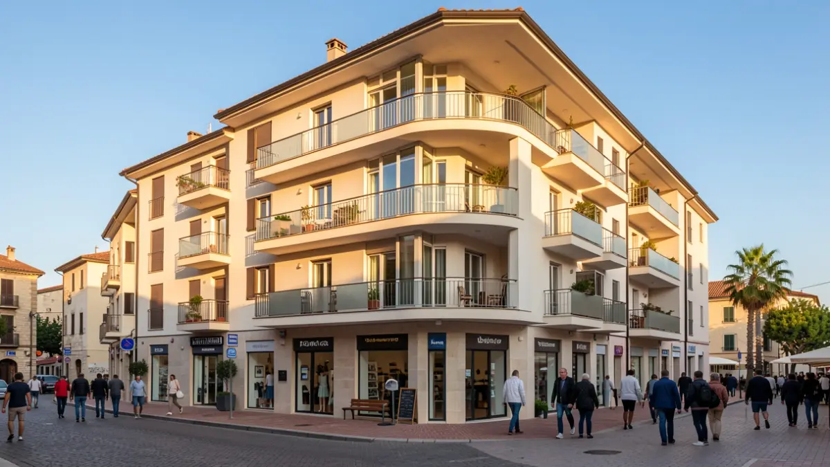
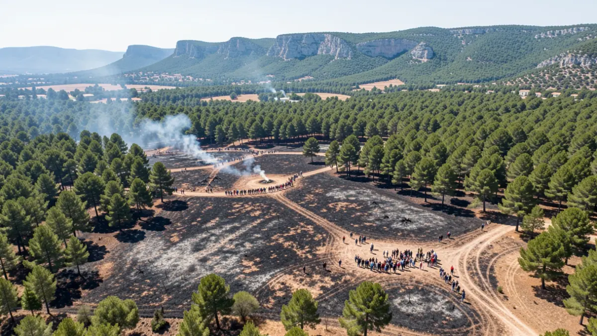
The organization has released a preliminary report estimating that 1,815 registered properties and 228 buildings have been affected. These figures, which are constantly updated via satellite imagery, cover municipal areas including Onda, la Vall d'Uixó, Aín, Alcudia de Veo, Alfondeguilla, Artana, Azuébar, Betxí, Chóvar, Eslida, Nules, Tales, and La Vilavella.
To facilitate the management of compensation and public aid, the Association of Registrars has agreed to provide free ownership records. Property owners can check the status of their assets through the Emergency Registry Portal, which integrates registry information with geographic data from the Copernicus system.
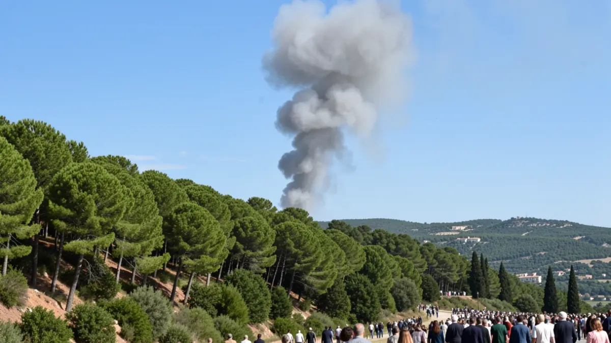
Technical analysis has also highlighted a severe environmental impact. More than 261 hectares of Public Utility Forests have been affected, including Puntal del Aljibe, Bellota, Umbría de Castro, Barranc Roget, El Rodeno, El Castillo, Barranco del Carbón, Solana de la Mina, and Tarraguán.
Furthermore, the fire has reached areas of high ecological value, such as the Sierra d’Espadà Natural Park and the Cueva Mina Virgen del Amparo, with nearly 1,700 hectares of protected natural spaces burned.