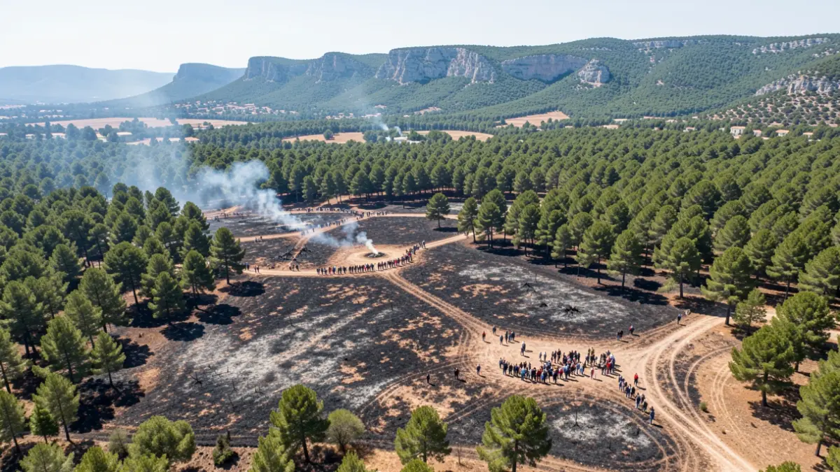
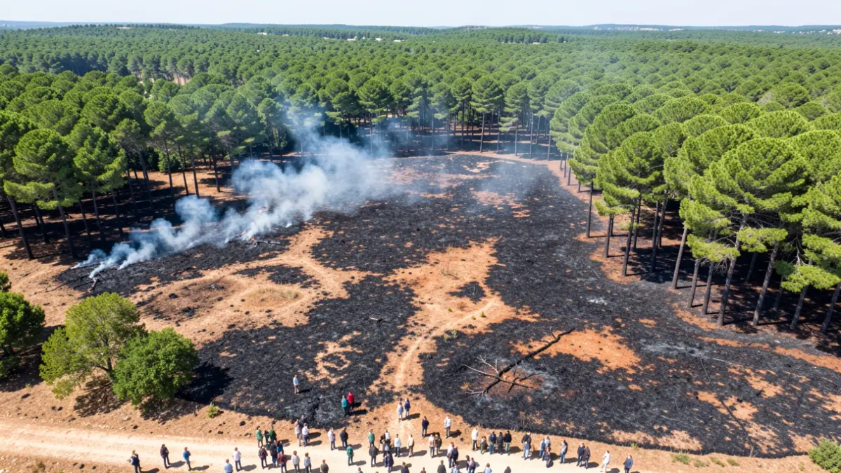
The digital tool, which integrates property registry data with geographic information from the Copernicus system, has so far identified 1,815 plots and 228 buildings damaged by the fire. This platform allows owners to locate their plots and structures situated within the burned area.
To facilitate compensation procedures and the application for public aid, the institution has decided that property ownership records will be free for all those affected. Owners can request these documents through the service enabled to prove the current ownership of their properties.
The preliminary analysis covers an area of over 6,000 hectares, affecting municipalities such as Aín, l'Alcúdia de Veo, Alfondeguilla, Artana, Azuébar, Betxí, Chóvar, Eslida, Nules, Onda, Tales, la Vall d'Uixó, and la Vilavella.
In addition to damage to private property, the fire has caused significant environmental impact in the Sierra de Espadán Natural Park, with more than 1,692 hectares affected, and has damaged 261 hectares of public utility forests. The portal will continue to update information as the assessment of the burned areas progresses.