The PTME of Riba-roja de Túria establishes the measures to be taken in cases of serious risk, including forest fires, floods, storms, heatwaves or cold snaps, and landslides. Its function is to provide an adequate response to each situation to minimize collective risk and offer alternatives for mobilizing the necessary resources for the protection of people, property, and the environment.
The plan's approval was supported by the governing team of the PSPV, along with Esquerra Unida-Unides Podem, Compromís, and Vox. The Partido Popular abstained. The document incorporates the requirements of the Valencian Agency for Security and Emergency Response for its official homologation.
The plan concisely defines the municipal areas of action and indicates when to request actions from the Territorial Emergency Plan of the Valencian Community or regional special plans, depending on the severity. It also supports self-protection plans for public buildings.
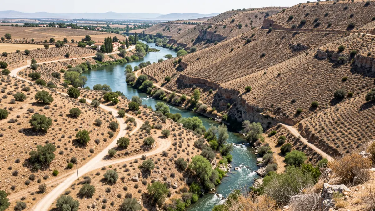
Regarding flood risk, the plan identifies the passage of the Túria river to the north and the Poio stream to the south as affected areas, particularly in low-lying zones such as La Malladeta and El Potrós. For forest fires, the Túria river area and Monte de la Vallesa de Mandor, as well as the Carassols slope with dry vegetation, are considered propagation elements.
The document details the inhabited areas within the municipality to establish evacuation procedures. The urban center is divided into five sectors, residential areas into seventeen, and there are nine scattered nuclei. For each nucleus, the approximate population, seasonal population, access routes, and distance to the main urban center are indicated.
The plan foresees the establishment of bodies such as the Municipal Operational Coordination Center (CECOPAL), with a director, an advisory committee, an information office, and a communications center. This center can be activated at the request of a higher-level plan director or in pre-emergency situations.
Finally, the creation of an Advanced Command Post (PMA) in the vicinity of the affected area is planned to direct and coordinate the intervention of basic units, including security, intervention, health, shelter, assistance, damage assessment, and recovery.