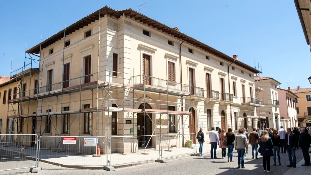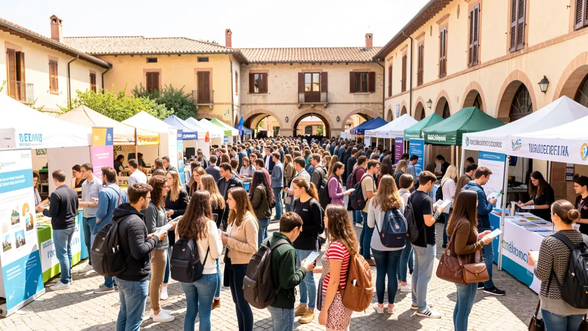
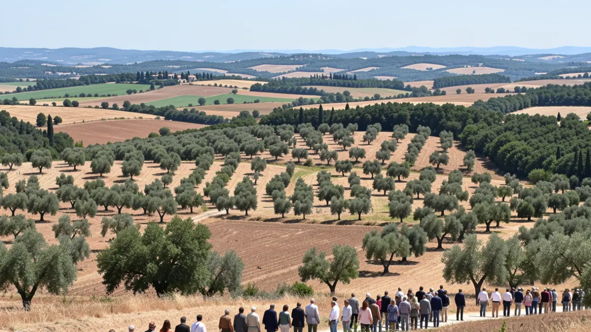
Marking the proximity of the World Forest Fire Prevention Day, the municipality of Viver has launched the GO Viver project, an initiative by the Global Nature Foundation and the Viver Cooperative. The aim is to transform agricultural spaces, such as almond fields or active olive groves, into key elements for slowing the spread of fire. The project's first phase involved a detailed analysis of plots to identify the most strategic ones.
The concept is based on the reality of Mediterranean landscapes, where continuous forest cover and a large amount of combustible vegetation facilitate fire spread. Active crops and well-maintained terraces create discontinuities that hinder propagation. This need became particularly evident after the Bejís fire in 2022, which burned over 19,000 hectares, 1,500 of them within Viver's municipal area.
The analysis not only identifies fire risk but also helps decide where preventive interventions would be most effective. Priority is given to strategic plots, those in direct contact with forest areas, those with more surrounding vegetation pressure, and areas with a higher concentration of agricultural enclosures, where coordinated action can maximize its impact.
Rocío Lalanda, the project coordinator, explains that "this map allows us to work with data and locate plots that, if well managed, can make a difference against fire." To create it, a multi-criteria analysis was performed, combining land uses, fire risk, fuel models, contact between crops and forest, and variables like slope or orientation. The result is a map that scores each plot by priority for action: low, medium, high, or very high.
Miriam Pajares, a technician from the Global Nature Foundation, emphasizes that the goal was to create a useful tool for deciding where to start, considering both fire prevention and territorial improvement. The model cross-references variables related to fire, the strategic position of plots, and the structure of the agroforestry mosaic.
Now, GO Viver is starting a new phase focused on plots belonging to members of the Viver Cooperative. Actions such as restoring abandoned land, transforming crops into productive firebreaks, restoring terraces, using grazing, and managing vegetation cover will be jointly designed and adjusted. The aim is for the solutions to be adapted to Viver's agronomic, environmental, and social reality.
This first phase forms the basis for a long-term plan that includes technical support for farmers, selection of pilot plots, and transfer of results to other municipalities. The project aims to develop an agroforestry adaptation plan to climate change that reduces the territory's vulnerability to forest fires and simultaneously promotes biodiversity.