
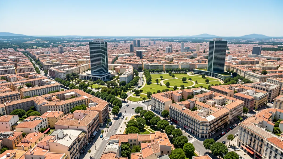
Alicante's Structural General Plan (PGE), awaiting environmental ministry approval, opens the door to vertical urban planning. The plan proposes abandoning the general ten-story limit to permit taller buildings, aiming to free up land for public uses such as green spaces, wider avenues, or public transport improvements, including new tram lines or bus-only lanes.
This high-rise building model, already adopted by municipalities like Benidorm, will help accommodate projected demographic growth, with Alicante expected to reach 466,340 inhabitants by 2050, an increase of over 100,000 residents. The plan anticipates the construction of more than 44,886 new homes, both market-rate and public housing, without reclassifying new urban sectors beyond those in the 1987 PGOU.
The document favors a polycentric model, prioritizing the regeneration of established neighborhoods and the development of pending sectors like Pino y Ruaya. New residential developments will be selectively located to complete the urban structure, resolve discontinuities, and provide amenities and infrastructure, forming a growth arc on the city's west, north, and northeast edges to prevent dispersed expansion.
Within these new areas, eight residential sectors are planned to accommodate approximately 23,155 homes. The largest sectors include Fondo Piqueres (8,250 homes), Vistahermosa-Juncaret (3,560), and Guijarro-Villafranqueza (3,052). Between 30% and 40% of new homes in these neighborhoods will be public housing, in addition to an estimated 2,000 public initiative homes through the Plan Vive and other municipal plots.
The PGE specifies that urban development will not promote second homes but will reinforce primary, affordable, and protected housing. It's estimated that up to 10,010 homes could still be built in existing urbanized areas, plus approximately 2,025 homes in ongoing projects (like Parque Central or Sangueta) and around 12,782 in Structural Transformation Operations (OTE) in the Rabasa and Florida-Babel industrial areas.
The commitment to a vertical model aims for more efficient use of urban areas, preventing residential needs from solely relying on new land occupation. Increased height may be permitted in strategic areas to concentrate buildable area, reduce ground footprint, and avoid screening effects, provided it enhances visual and urban permeability and frees up land for green spaces and environmental quality.
Height determination will not be uniform but assessed case-by-case, considering landscape studies, views, urban landmarks, and climate comfort. Concentrating buildability in height must result in reduced land occupation and verifiable improvements in public space, green areas, and mobility.