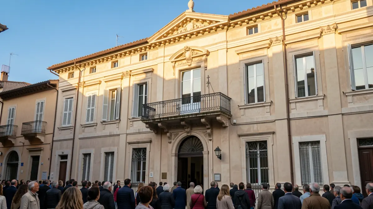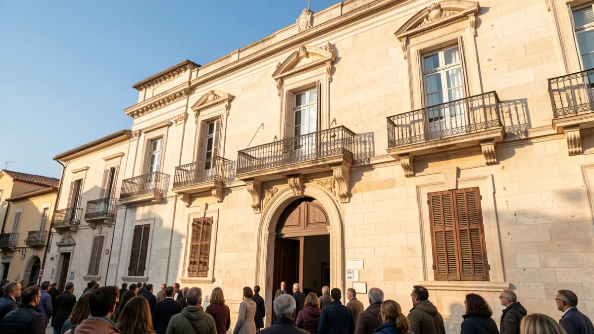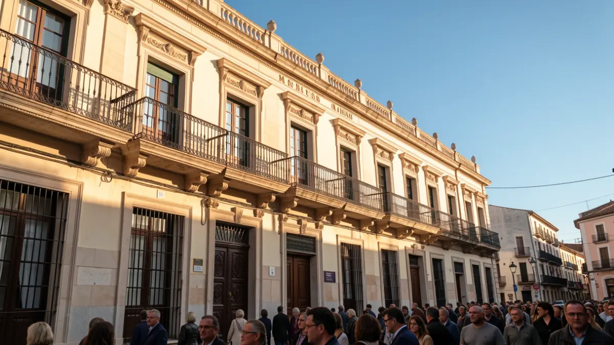
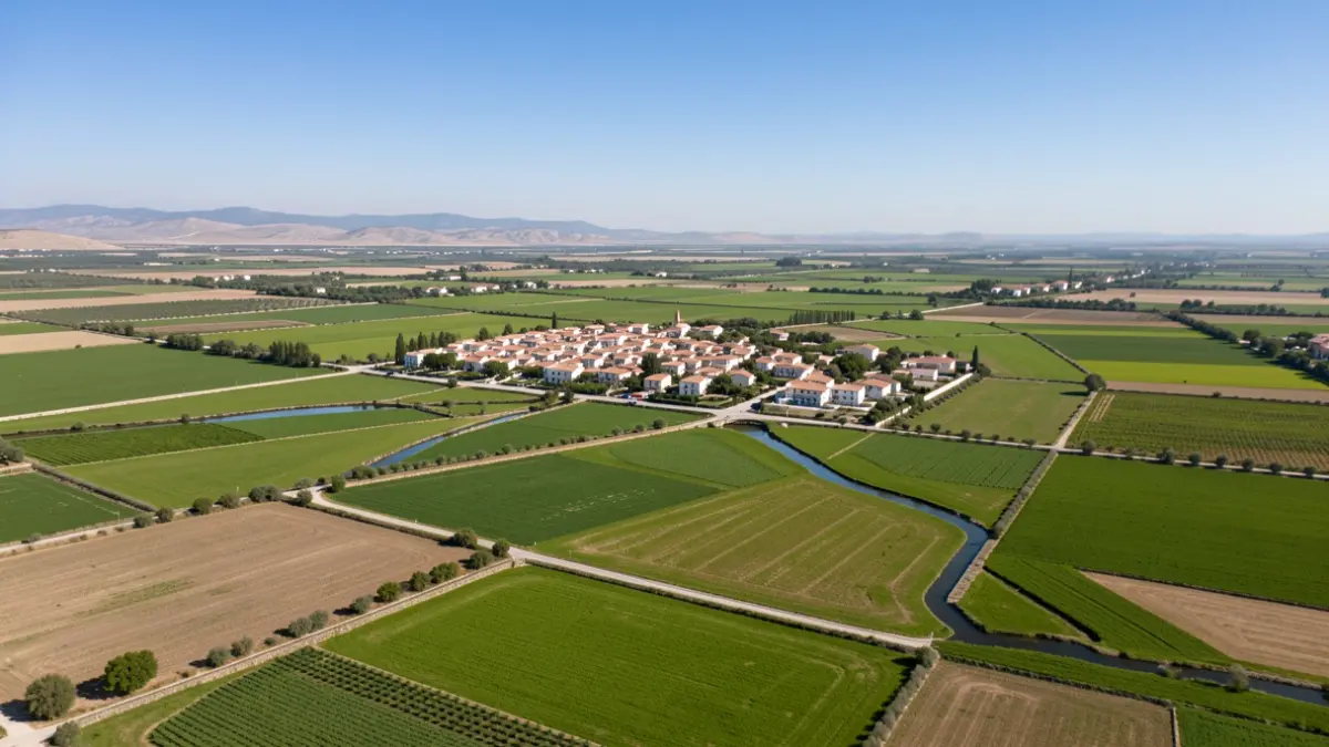
The municipality of Rafelcofer, belonging to the La Safor region, has a population of 1,383 inhabitants according to 2025 demographic data. Its geographical location places it 74 km south of the city of Valencia and 6 km south of Gandia, the regional capital.
The municipal area is located approximately 20 meters above sea level, in the center of the plain formed by the lower course of the Serpis River. It is well connected to neighboring towns, situated between two important communication routes: the N332 and the AP7 motorway. It borders Bellreguard and Almoines to the north, L'Alqueria de la Comtessa to the east, La Font d'en Carròs to the south, and Beniarjó and Beniflà to the west. It belongs to the Judicial District of Gandia.
Rafelcofer's geography is characterized by its location in the heart of the Horta de Gandia (Gandia's fertile land) and on the right bank of the Serpis River. The entire land of the municipality is a plain of clays formed by Quaternary sediments, except for the Rabat mountain, a small isolated limestone hill approximately 176 meters high. The terrain of the huerta is flat, rising slightly to the southwest as one approaches the foothills of the Serra Gallinera.
The municipality participates in an irrigation system of Islamic origin, spread across the coastal plain of the region. Water from the Serpis River, stored in the En Carròs weir, reaches Rafelcofer through the Séquia Mare and the Séquia Comuna d'Oliva. Two water distributors supply water throughout the municipal area.