This tool has been applied to the 2022 Bejís fire (Castellón), which burned 18,538 hectares. According to the study, this fire had a global warming impact equivalent to 626,000 tonnes of carbon dioxide (CO₂). This figure exceeds the annual emissions of the city of Valencia and represents approximately 0.22 percent of Spain's annual emissions.
The research, published in the scientific journal Fire, was conducted by Helena van den Berg Sesma, Edgar Lorenzo-Sáez, Victoria Lerma-Arce, and José Vicente Oliver-Villanueva (ITACA-UPV), with the collaboration of Mauricio Acuna (Luke). "The results highlight that wildfires not only cause economic, environmental, social, and emotional losses but also have a significant impact on the climate," states Van den Berg Sesma, lead researcher and author of the study.
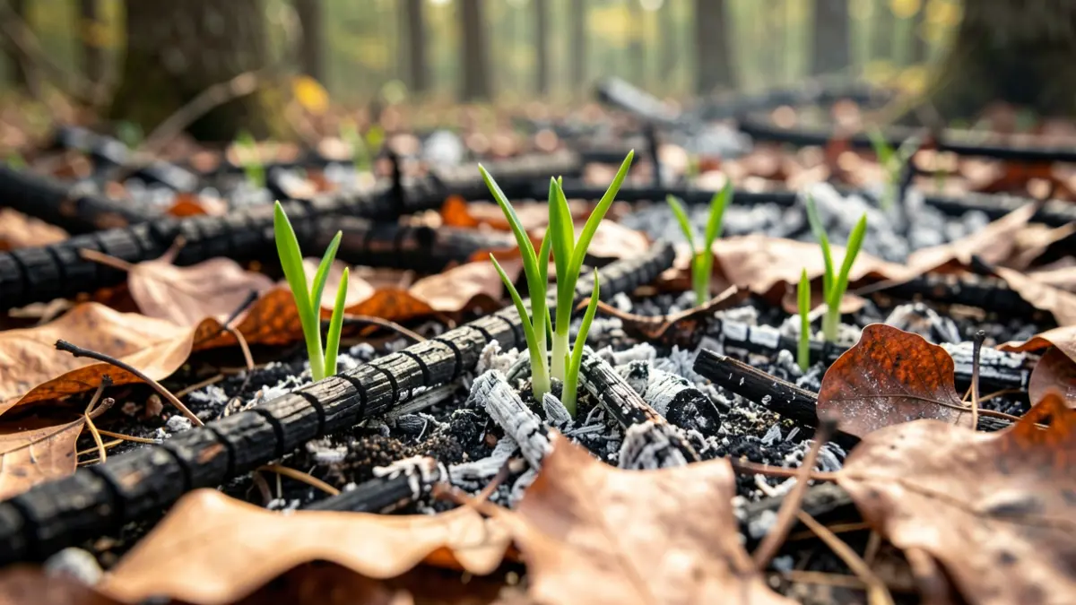
When a forest burns, some of the carbon stored over many years in vegetation is released into the atmosphere as greenhouse gases. Furthermore, the loss of forest cover can temporarily reduce the ecosystem's capacity to absorb CO₂. "Global warming, resulting from climate change, creates conditions that increase fire risk, and these, in turn, release greenhouse gases and reduce the carbon absorption capacity of ecosystems," explains Lorenzo-Sáez.
Therefore, the authors emphasize the importance of combating large-scale fires not only through firefighting but also through prevention, adaptation to climate change, and sustainable forest management. One of the key innovations of the research is its consideration of the Mediterranean landscape's diversity.
The methodology combines Sentinel-2 satellite imagery with data on pre-fire biomass, vegetation type, and burn intensity. "Unlike models that assign a single vegetation type to each area, the new approach identifies the coexistence of different vegetation covers within the same area," details Oliver-Villanueva. This allows for a more realistic representation of landscapes where conifers, shrubs, herbaceous vegetation, and deciduous trees coexist.
Areas with conifers, especially when mixed with shrubs and herbaceous vegetation, contributed the most to emissions. The study demonstrates that it is not enough to know the hectares burned to calculate a wildfire's climate footprint; one must also know the vegetation present, the biomass, and the intensity of the burn.
Victoria Lerma-Arce points out that "the results from the Bejís fire show that, overall, the highest emissions were concentrated in the most severely affected areas. Areas with high and moderate-to-high damage levels together accounted for more than 81 percent of the estimated emissions." This information is useful for preventive management, as it allows identification of areas and vegetation types that could generate the highest emissions.
The authors highlight that the methodology can improve national and regional greenhouse gas inventories and be applied to other large Mediterranean wildfires, provided adequate information on vegetation and biomass is available. The research was supported by the European projects INFORMA Forests and URBAN-FLOW.