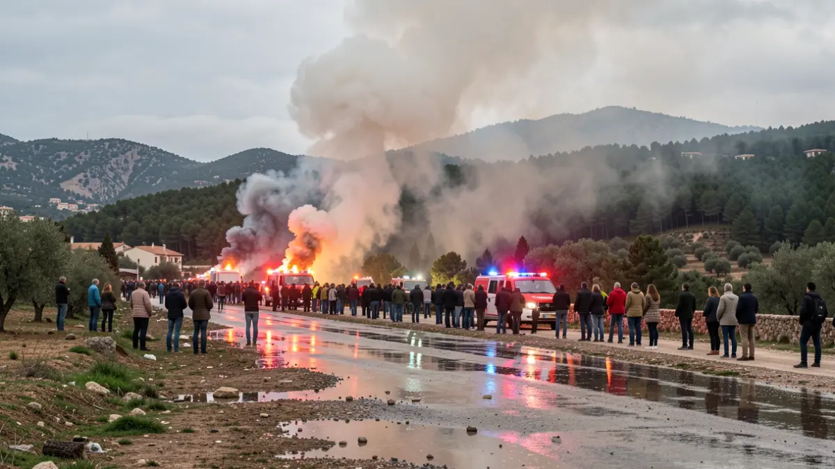
The fire, which broke out on Thursday in the Serra de la Calderona, between Segorbe and Gátova, remains active. The situation worsened in the early afternoon due to changing winds, leading to the declaration of level 2 alert to activate the Military Emergencies Unit (UME) for ground support. The fire has already burned a perimeter of 133 hectares, all within the municipality of Segorbe.
The main concerns are three 'priorities': inaccessible cliffs, a burning ravine towards the Pico del Águila, and the fire's tail, where a flare-up has occurred. This was indicated by the regional secretary of Emergencies, Fernando Lasheras, and the fire's technical director, Pablo Vila, from the Advanced Command Post.
A municipal decree has asked residents to remain in their homes and avoid driving on forest roads, especially towards the Pico del Águila. The declaration of level 2 alert allows for the request of UME personnel to reinforce aerial firefighting efforts.
The Seprona (Nature Protection Service) has confirmed that the fire's origin was a lightning strike. Extinguishing resources were activated immediately, working through the night under difficult conditions due to challenging access to the impact zone.
The regional secretary detailed that the burned area covers approximately 133 hectares with a perimeter of about 7.5 kilometers. Technical director Pablo Vila noted that 30 ground units and 17 aerial units are working, and the perimeter is still active.
The three attack priorities include the ravine towards the Pico del Águila, difficult to access due to smoke density; high cliffs where helitransported brigades have been deployed; and the fire's tail, where a new outbreak has occurred.
The municipality of Gátova is considered 'quite protected' due to wind direction and natural protection from terraced fields.
Climatic conditions, with wind changes and increased speed, typically worsen fires during the central hours of the day. Despite dry vegetation, wind conditions are expected to remain stable from 2 PM to 11 PM.